Majestic Studios
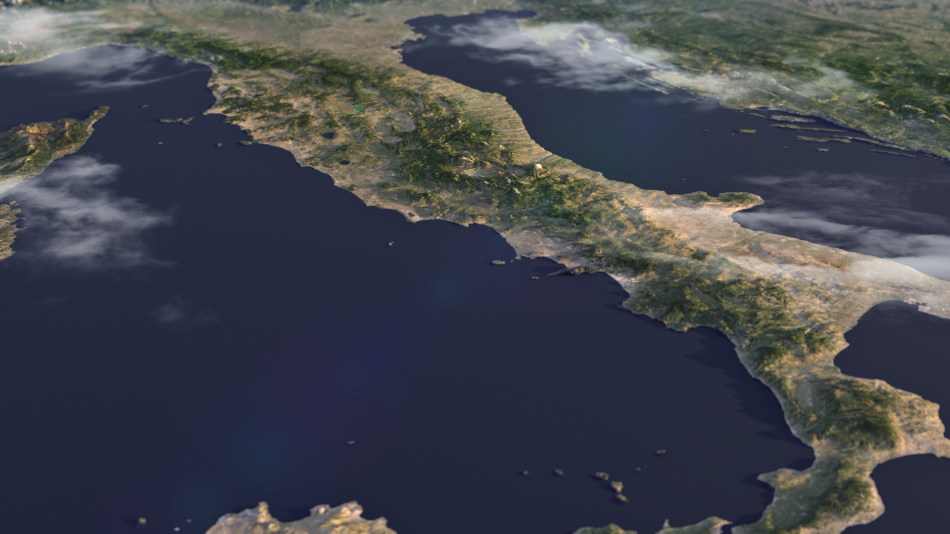
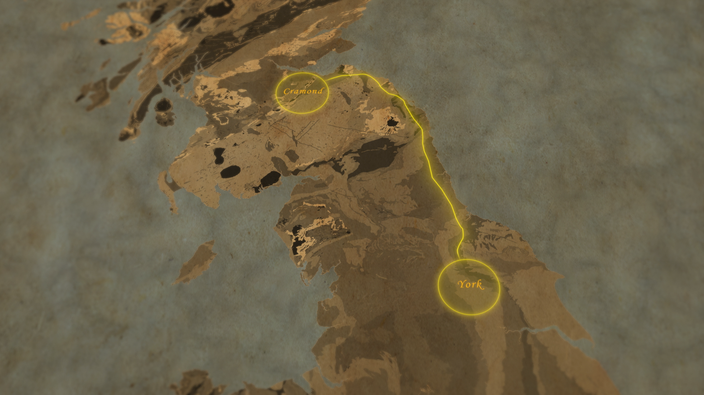
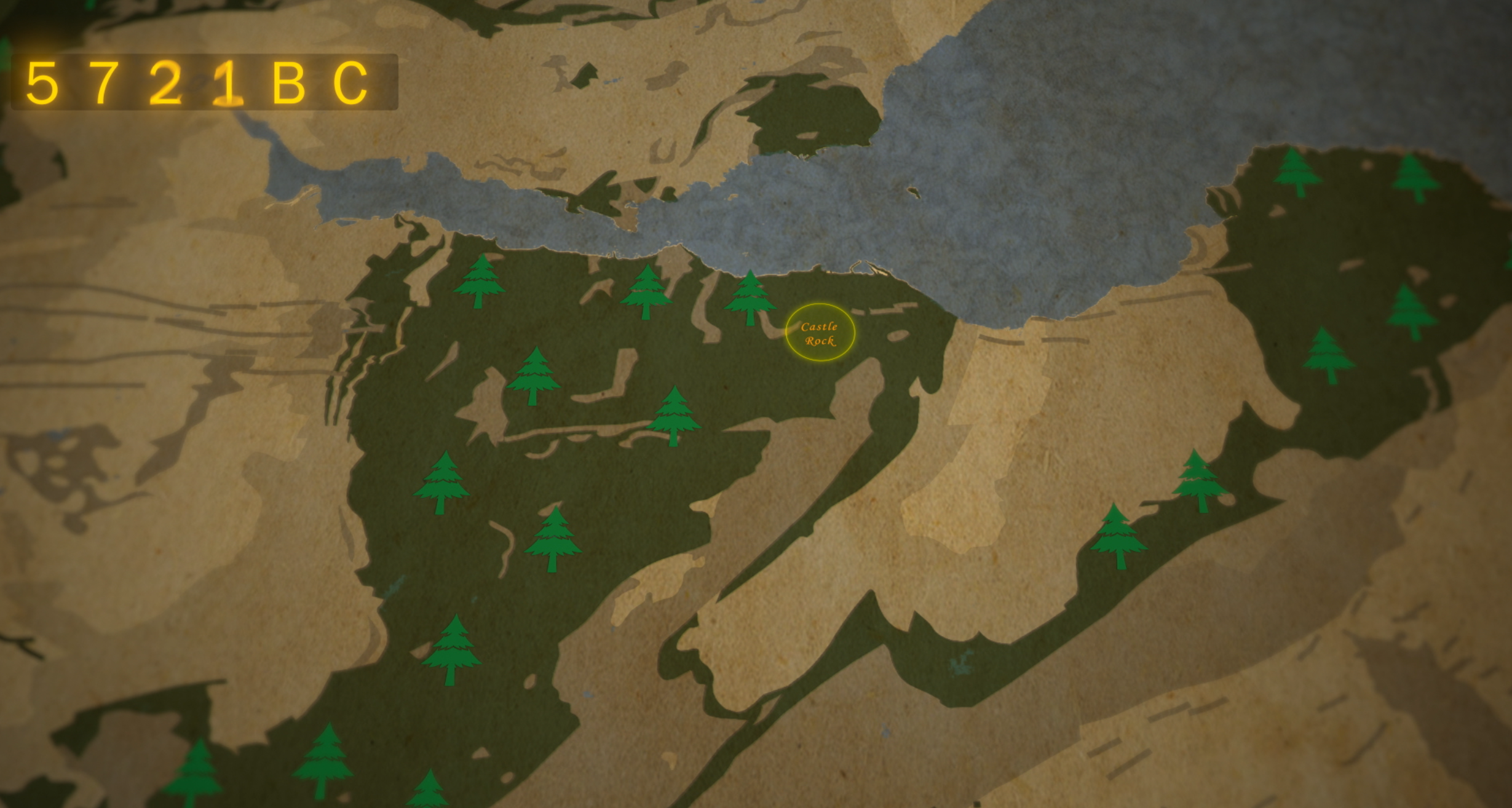
I have had the pleasure of working on multiple Majestic Studios history documentaries to produce both realistic and stylised 3d maps. These maps use real satellite data in order to provide a physically accurate environment.
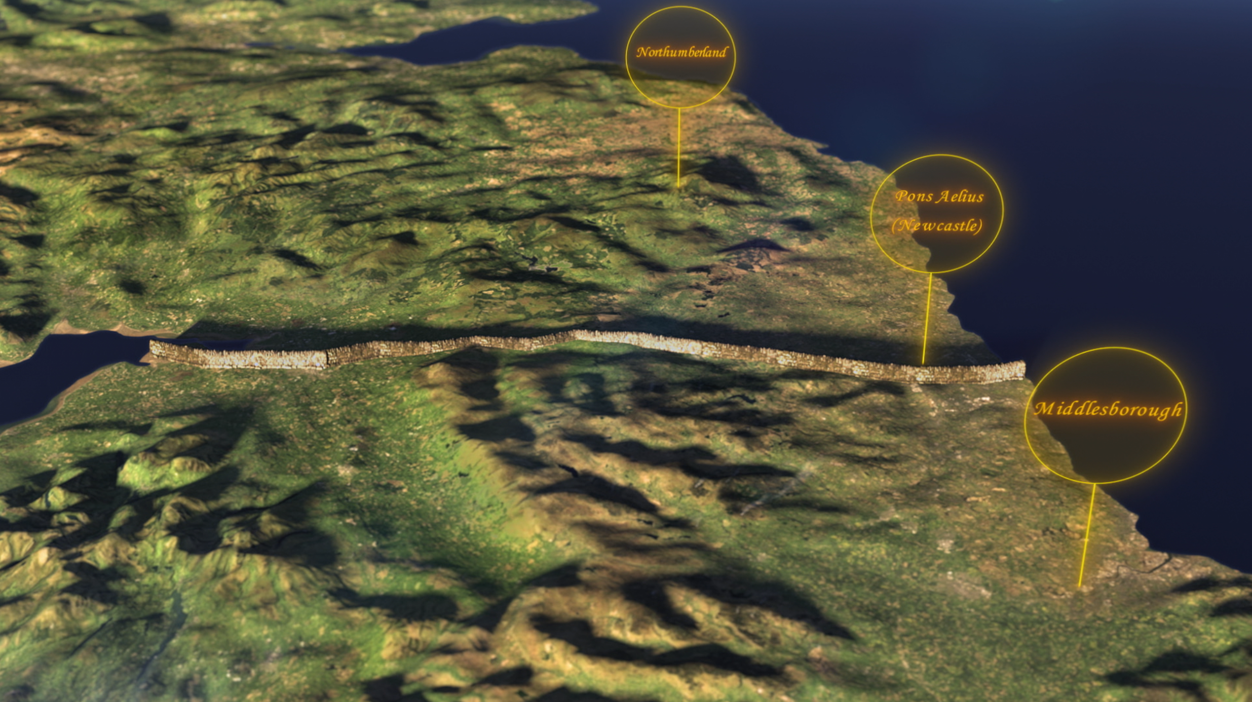
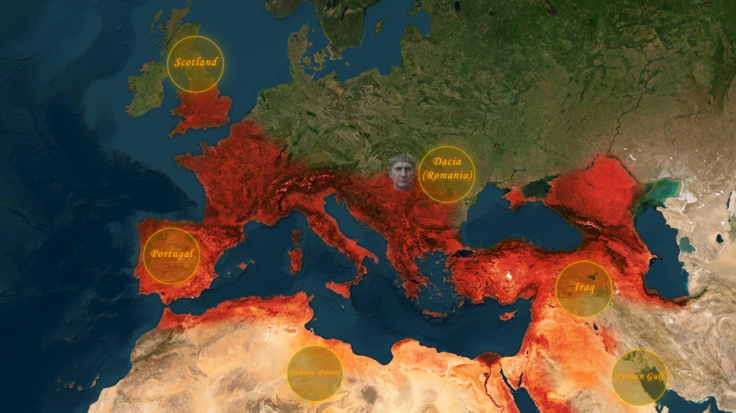
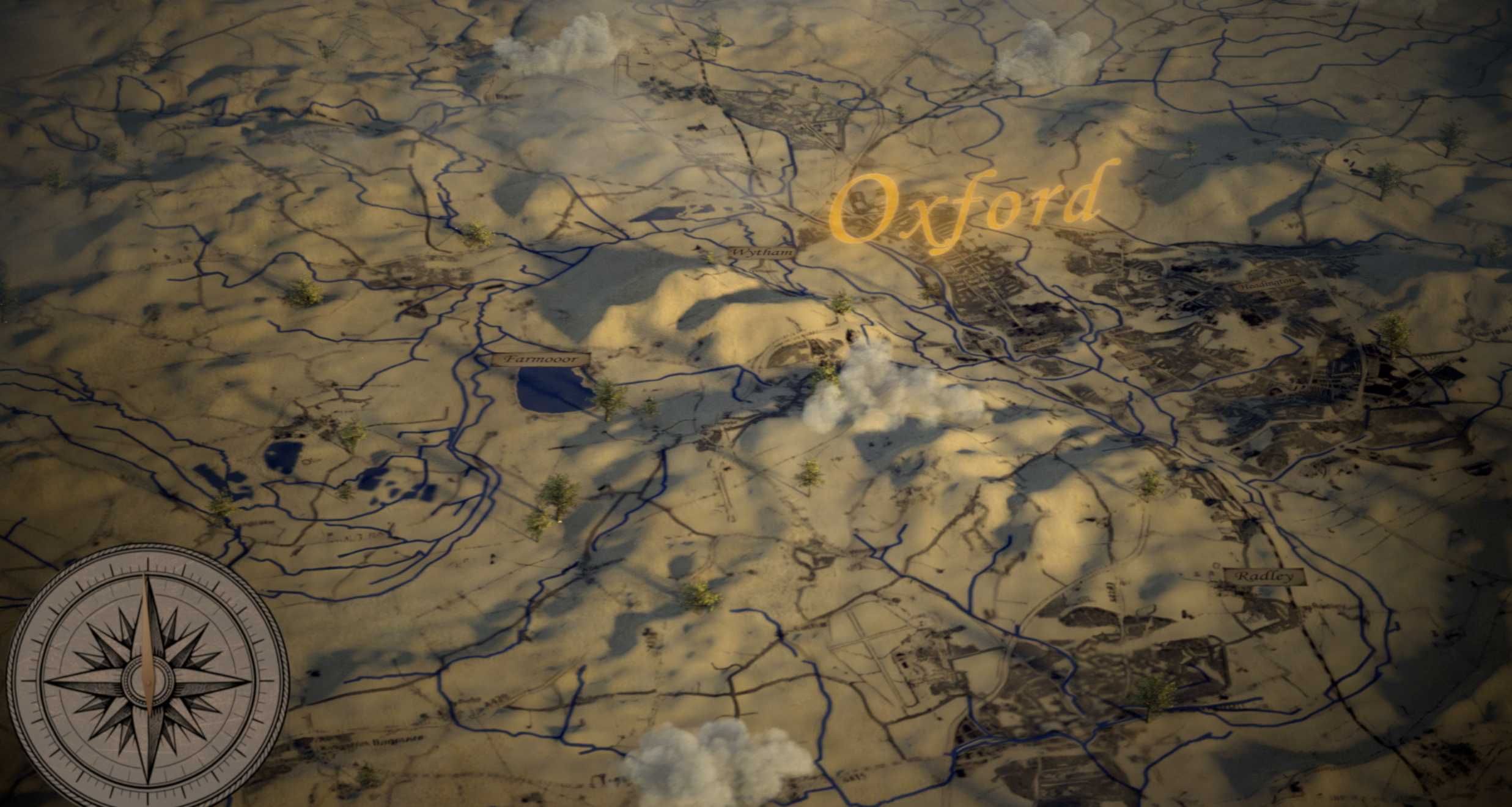

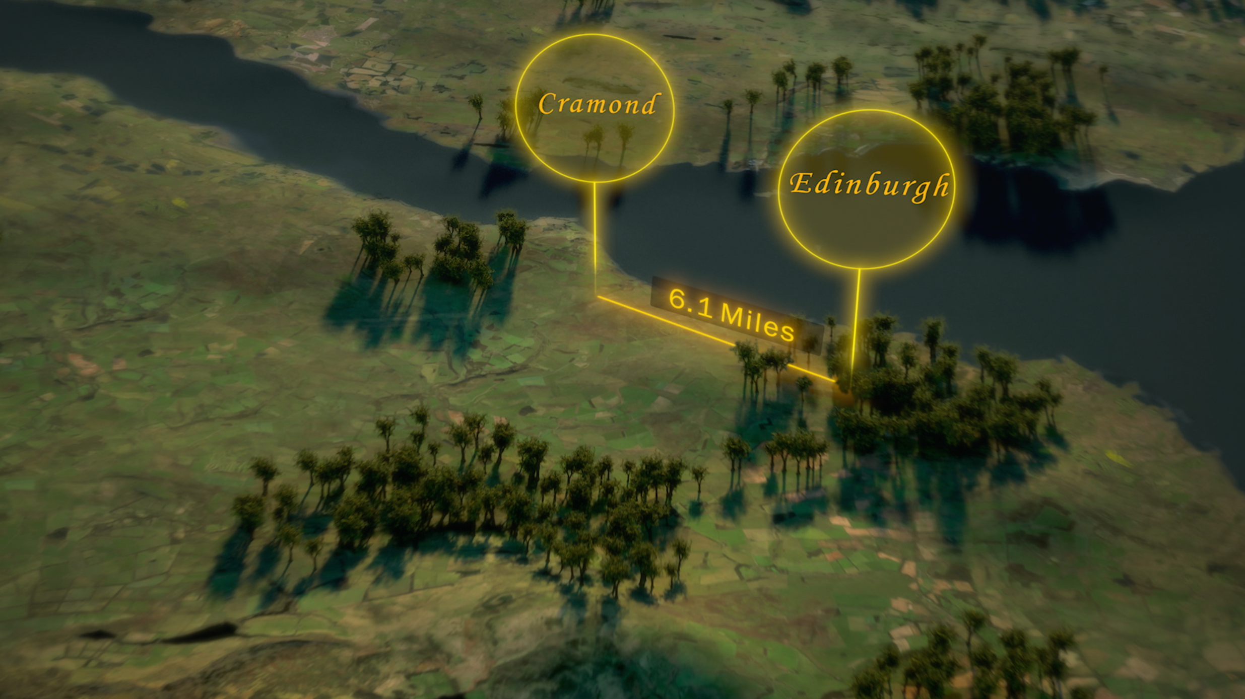
The 3D maps were produced in Maya, using VRay or Arnold. Graphics such as the location labels were composited into the shot using an After Effects 3D linkup.
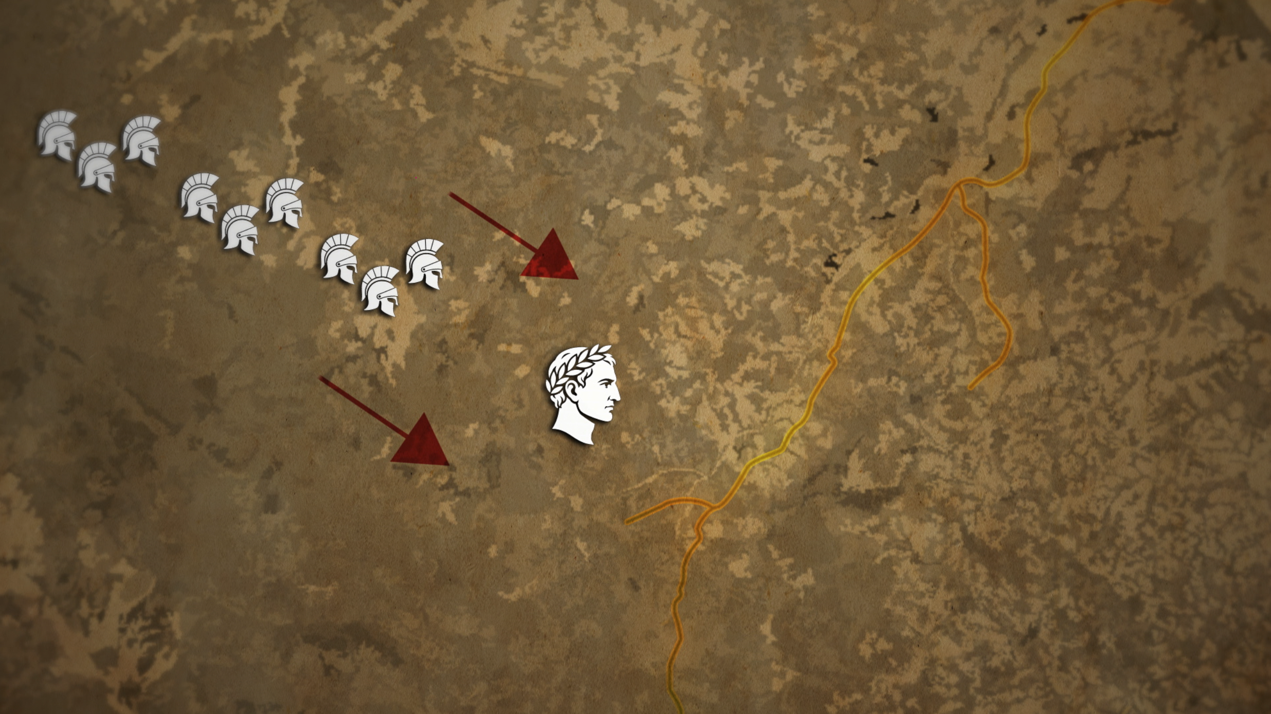
The 2D maps were produced using Photoshop and After Effects. A 2D animation was produced, which a 3D camera would then move through.